Cup marked rock Stanage Barrow
Location -
Eyam Moor
Derbyshire
OS Grid Reference SK215786
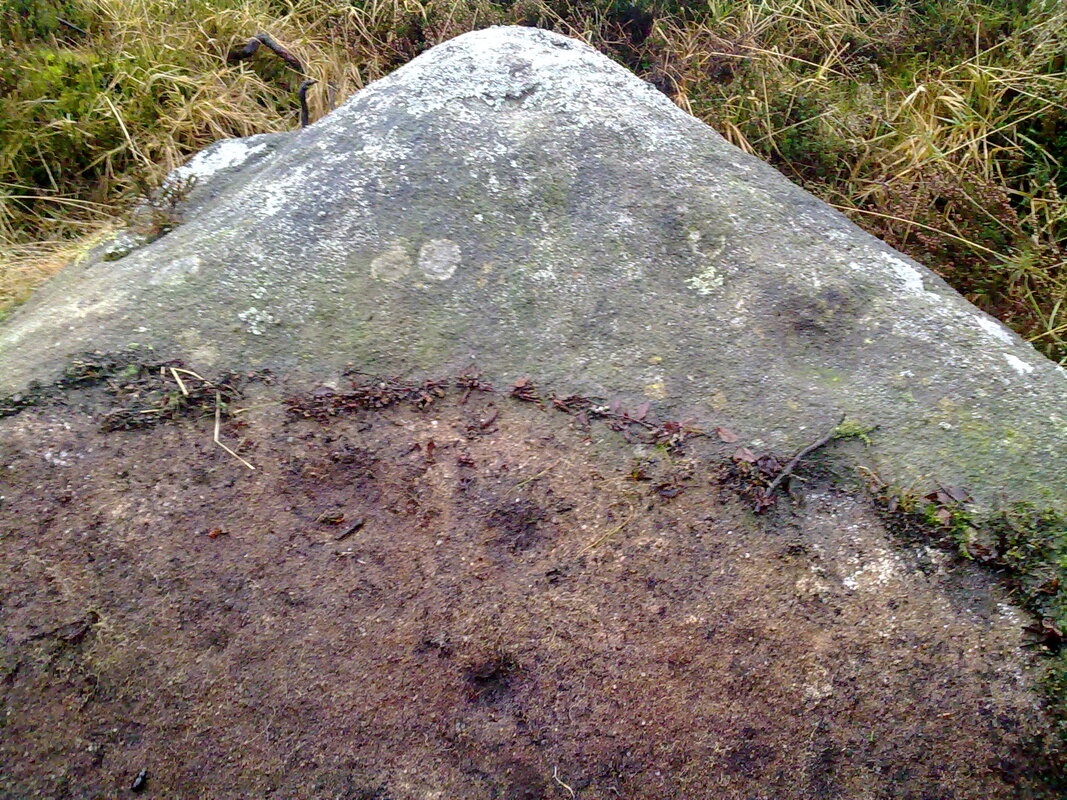
A large-ish rock with a scattering of ten well preserved cups adjacent to Stanage barrow, the barrow will be used to guide you to the rock.
From Grindleford you need the turn off the B6521 for the B6001 Hathersage, you then need the immediate left turn up Sir William Hill road, follow this for around 1.5 km till the road turns to the left, you'll see a roughly surfaced road by this turn in front of you, park up by the bottom of this road.
From here follow the roughly surfaced road up hill for around half a kilometre where you'll find a sign posted access point onto the moor to your right, access the moor and just follow the path for around 3/4 km, after passing two quarry pits, one either side, the path rises slightly then drops down quite steeply, you should be able to see it around 200 metres down the path on the right.
From the barrow head NNW for around 30 metres, the rock should be visible in the heather just after crossing a shallow drainage ditch, to see all the 10 scattered cups you'll have to peel back the carpet of heather growing upon it, please replace it when your done.
When i first saw pictures of this rock i imagined it to be quite small, actually its around a metre square and 15cm thick so it's quite easy to spot, though it is laid almost flat.
Please be aware there are several quarry pits in the area with the largest 20 metres to the right of the path on the high point of the moor.
Eyam Moor
Derbyshire
OS Grid Reference SK215786
A large-ish rock with a scattering of ten well preserved cups adjacent to Stanage barrow, the barrow will be used to guide you to the rock.
From Grindleford you need the turn off the B6521 for the B6001 Hathersage, you then need the immediate left turn up Sir William Hill road, follow this for around 1.5 km till the road turns to the left, you'll see a roughly surfaced road by this turn in front of you, park up by the bottom of this road.
From here follow the roughly surfaced road up hill for around half a kilometre where you'll find a sign posted access point onto the moor to your right, access the moor and just follow the path for around 3/4 km, after passing two quarry pits, one either side, the path rises slightly then drops down quite steeply, you should be able to see it around 200 metres down the path on the right.
From the barrow head NNW for around 30 metres, the rock should be visible in the heather just after crossing a shallow drainage ditch, to see all the 10 scattered cups you'll have to peel back the carpet of heather growing upon it, please replace it when your done.
When i first saw pictures of this rock i imagined it to be quite small, actually its around a metre square and 15cm thick so it's quite easy to spot, though it is laid almost flat.
Please be aware there are several quarry pits in the area with the largest 20 metres to the right of the path on the high point of the moor.