Dobb Edge
Location: Dobb Edge
Chatsworth Estate
Derbyshire
SK26826 71546
Chatsworth Estate
Derbyshire
SK26826 71546
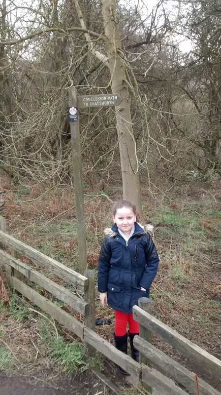
This rock art was discovered in 2012 on the concessionary Chatsworth footpath along Dobb Edge. To get there park at Robin Hood, the field across the road from the pay & display car park is free, and make your way down the main road towards Baslow; it's a little under a mile from here. After 50m, and on the opposite side of the road, is the start of the concessionary path which straight away leads down some steep stone steps.
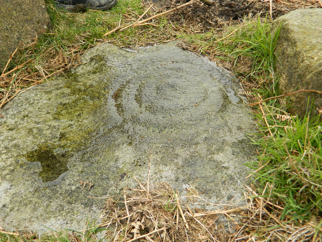
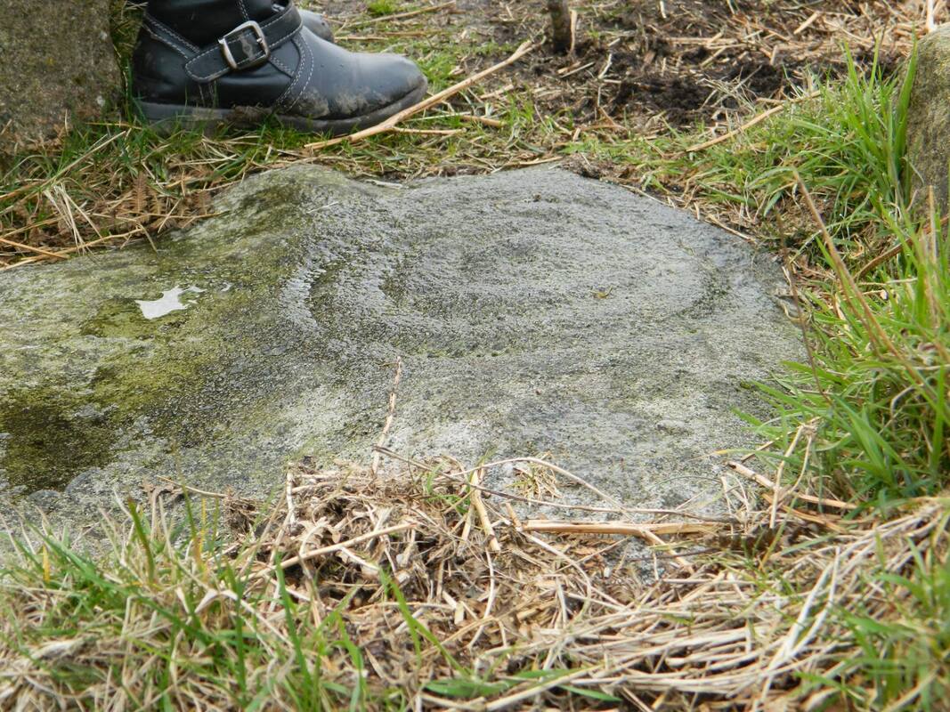
Follow the path upwards, across the crossroads where the path is crossed by a track, and onto Under Pasture Edge. Take care along here and definitely don't let the kids race ahead as the path gets awful close to the rock face in places. Under Pasture Edge eventually looses the high face and once across a grassy field a wall with steps you'll need to climb crosses your path denoting where Dobb Edge begins. Up the slight rise and with 1/4 of a mile the carved stone is easily seen by the right hand side of the path.
The stone lies in a wonderful setting with stunning views both near and far to be enjoyed. In the east the land rises up quite sharply through Peak o' Bill's Rocks and onto Gibbet Moor. To the south the limestone hills of the White Peak are visible. While to the west is Longstone Edge/Moor and Fin Cop. The northern horizon is filled with Birchen Edge, Gardom's Edge, Barbrook Moor, Eaglestone Flats, Eyam Moor and Bretton Moor.
The route is relatively easy to follow as there's route markers along the way, but if you'd prefer to use a gps there's a gpx file of the route posted below.
| dobb.gpx |
The sign marking the start of the route.