New Hagg Standing Stone
Location -
Hallam Moor
Sheffield - Western Outskirts.
Os Grid reference SK 2582 8706
From Redmires Road, follow the path on the opposite side of the road from the reservoirs that follows the “conduit”: a man-made drainage ditch that empties into the upper reservoir and marked on the map at SK 26018578. You’ll need to follow this for about 1km till you come to a junction with a path crossing a small bridge on your left, and a path to your right onto the moor. You need to take the latter for about 200 metres downhill. The standing stone is roughly 100 metres onto the moor in a NNE direction.
Standing around 1.2 metres high, surrounded by mature heather and aligned roughly North / South I noticed this particular stone one day whilst making my way back from the Reddicar Clough / Ash Cabin Cist and heading towards the Headstone (.5km NNW), there's no history i know of as i can't find reference to it anywhere but the weathering on it's top certainly suggests it's been stood for a very long period and probably back in to prehistory.
Sites within the group and others within walking distance, click for details.
Ash Cabin Rock Shelter / Cave
Ash Cabin Hill Fort
Ash Cabin Stone Circle
Reddicar Clough Long Cist
The Headstone
Ash Cabin Rock Shelter / Cave
Ash Cabin Hill Fort
Ash Cabin Stone Circle
Reddicar Clough Long Cist
The Headstone
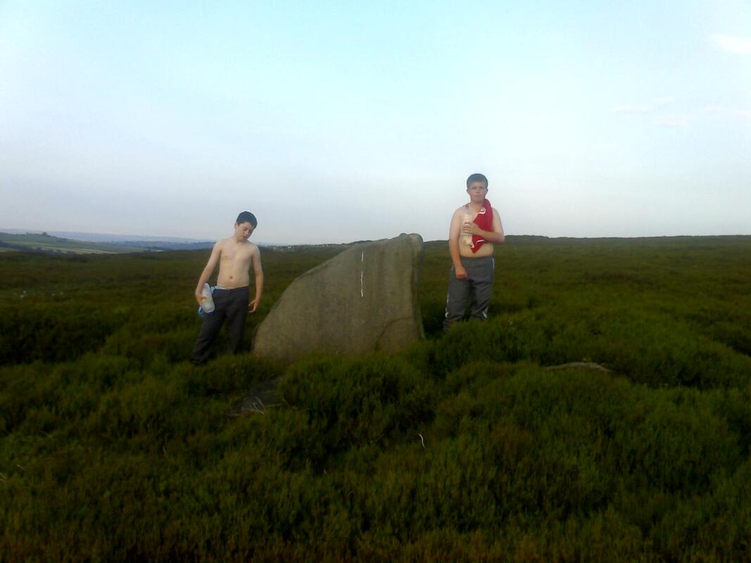
Kids for scale.
